Over, for now…

Beginning the Dalton Highway, Alaska
Being able to ride the entire Sea to Sky highway on a bicycle is a privilege, the road is nothing short of a scenic paradise. Anyone who lives in Vancouver has probably driven to Whistler, but if you haven’t continued past Whistler, on through Pemberton and up to at least Lillooet you are missing something really special. It’s a totally separate microclimate within the same relatively small region. From Cache Creek to just south of Lillooet is dry, desert-like landscape complete with cougars, rattlesnakes and very little rain. Small pockets of cultivated green pastures seem out of place and stand out literally, like an oasis in the desert.

North of Lillooet

North of Lillooet
The highway approaches Lillooet from the north, high above the town with a great view of the valley below. I camped in Seton Lake campground, just south of Lillooet. Close by is a park with breathtaking views of the lake itself. The terrain through the mountains and into Pemberton is winding steep climbs followed by huge downhills. Clocked 72km/h on one of those descents, not bad for a fully loaded steel touring bike. The road was quiet compared with the previous weeks, mostly tourist traffic. Trying to get to Vancouver before some predicted heavy rain, maybe I wasn’t as aware of my surroundings as usual but the journey from Pemberton to Vancouver was fairly uneventful. I arrived back in Vancouver accompanied by my own private internal fanfare, the best kind. I decided I should probably digest what I’ve experienced on this trip and condense it into some tangible conclusions.

Seton Lake
Firstly from my limited exposure, doing solo travel of this nature has reminded me of one thing: that people are inherently good. I experienced enough acts of kindness to absolutely reinforce that statement. I’ll jot down a few examples. Setting up camp in Mt Shadow park, the owner offered me a cabin for nothing. A bear had been around all day and he didn’t want me sleeping outside. People I didn’t know welcomed me into their houses. Strangers I met along the road offered me meals, water, cooking fuel, beer, fruit, etc. …. I was often offered lifts, tempting as it was I never accepted. The second blatantly apparent observation is not so positive. The total distance tracked from my bike GPS was 4561Km (about 2800 miles). I witnessed more traffic and development than I’d ever imagined, the impact of human activities on almost every inch of the most remote piece of wilderness is disturbing. The scale at which mining, logging and construction is progressing in northern BC is staggering. I won’t get into a rant about pipelines, cars, pollution, etc. What I will say is that change is going to happen for better or worse. And much thanks to anyone who took the time to read this. Here are some photos…….
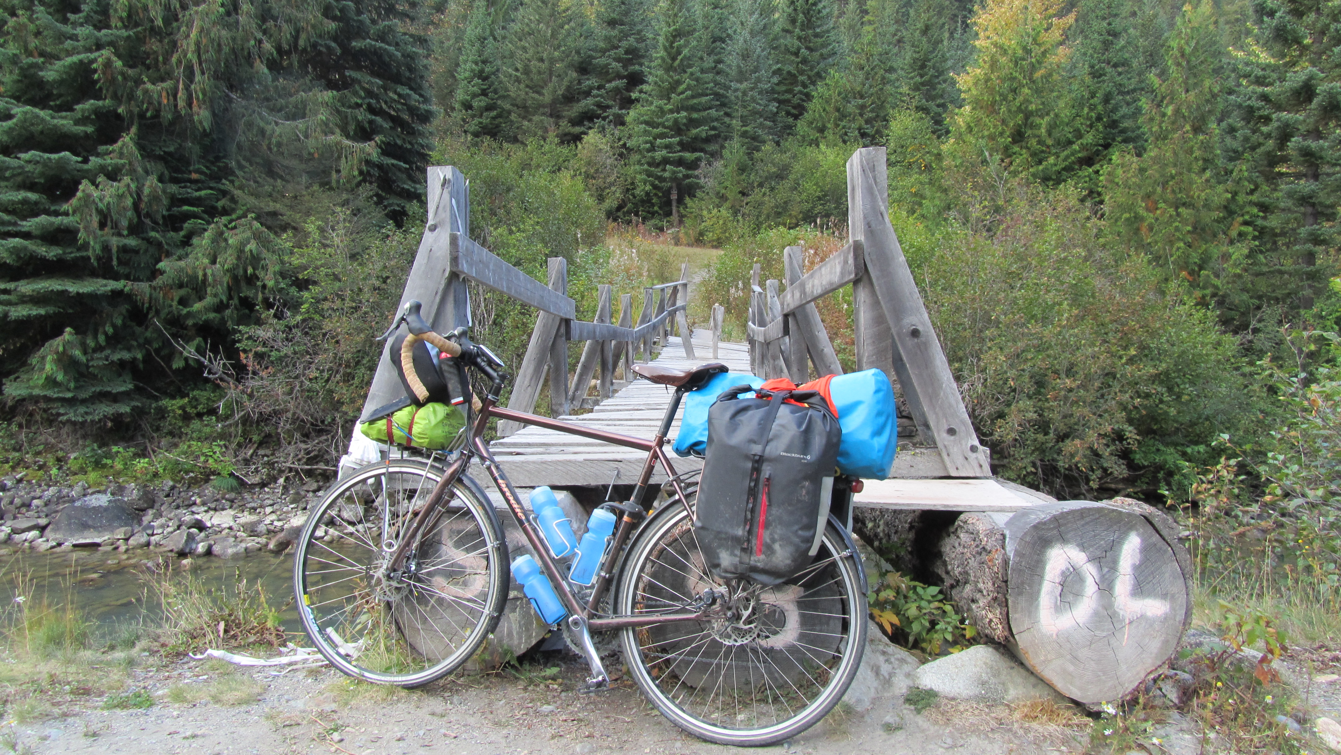
Bridge over a creek, BC

Sea to Sky Hwy, BC.

Chilcotin sky, BC.

The Dalton Hwy, Alaska

Lillooet, BC

Alaskan Hwy, Yukon

Tetlin Refuge, Alaska

Gas Station outside Tok, Akaska

Cassiar Hwy, BC.

The Christians, Everywhere.

Cassiar Hwy, BC.

Crystal clear lake, BC.

The Hazelton Ranges, BC.

Dalton Highway, Alaska

????, ????

Meziadin Lake, BC.

Kluane, Yukon.

Atigun Pass, Alaska

Dot Lake, Alaska

Sandhill Cranes near Anchorage, Alaska

Coastal Mountains, BC

Delta Junction, Alaska


